Centre for Northern Studies
Over 400 researchers studying northern terrestrial environments
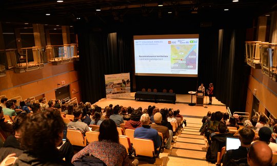
The 2024 CEN Annual Conference in a Nutshell
The 2024 edition of CEN's Annual Conference was a success thanks to the participation and involvement of its members and partners! Visit the summary page of the 44th CEN Annual Conference
More details
InfoCEN- February 2024
In the February 2024 issue of Info-CEN: a summary of the CEN Annual Conference, Polar Night, recruitment for the CDE and EDI committees, upcoming CEN events, our members in the media ...
More details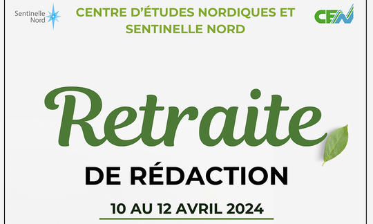
Writing Retreat
The dedicated CEN Student Committee and the North Sentinel Student Association are pleased to offer student members a 3-day writing retreat at Lac Simon, Portneuf.
More detailsThe CEN is a research centre based at Université Laval, managing an extensive network of infrastructures stretching from the boreal to the Canadian High Arctic. Thanks to the Fonds québécois de recherche Nature et Technologies (FRQNT), CEN is a strategic inter-university and multidisciplinary group working in partnership with northern communities and public and private organizations to promote sustainable development in the North.
CEN manages three unique infrastructure networks in the circumpolar world
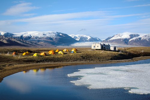

Qaujisarvik ('place of study' in Inuktitut) is a network of research stations managed by the CEN. With this network, CEN fulfills its mission to provide unparalleled access to the North for the scientific and educational communities.
More details
![]()
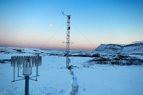
SILA ('climate' in Inuktitut) is a network of 110 permanent observatories for climate and environmental change in the North, operated by CEN. The network extends over 3500 km, between Quebec City and Ward Hunt Island, Nunavut.
More details
![]()
Due to the increasing amount of data generated by CEN's work, and the growing demand for access to it, CEN has created the Nordicana D collection, an open-access platform for Nordic climate and environmental data.
More details